
Click for full-size.
British Maps and Map-Makers (Britain in Pictures #73)
by Lynam, Edward
- Used
- near fine
- Hardcover
- first
- Condition
- Near Fine/Fine
- Seller
-
La Mesa, California, United States
Payment Methods Accepted
About This Item
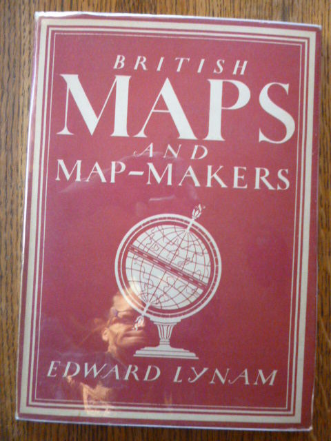
London, England: Collins, 1947. First Edition First Printing . Hardcover. Near Fine/Fine. A lovely copy! Describes early English maps & their intricate relationship to British history & culture. Author was head of the Map Room at the British Library & President of the Hakluyt Society. Originally published in 1944, this is the (stated) Third Impression (Revised) from 1947, in 48 pages with 8 lovely full-color plates & 26 black & white illustrations. Slim red & white hardcover with cover illustration that matches DJ is Near Fine: very clean & binding tight; creamy pages with very mild tanning to exterior edge, but completely unmarked; endpapers show dark offsetting. are heavily tanned in areas. Slight mustiness & slight warping. NO writing, highlighting or underlining. NOT ex-lib. The unclipped DJ is in Fine condition: nearly flawless, no creasing; nicely protected in new clear mylar cover free! Our photos depict the Exact book you will receive, never "stock" images of books we don't actually have. Same day shipping on all orders received Weekdays by 2 pm (Pacific time); later orders, weekends, & holidays ship very next business day.
Reviews
(Log in or Create an Account first!)
Details
- Bookseller
- Gargoyle Books
 (US)
(US)
- Bookseller's Inventory #
- 007592
- Title
- British Maps and Map-Makers (Britain in Pictures #73)
- Author
- Lynam, Edward
- Format/Binding
- Hardcover
- Book Condition
- Used - Near Fine
- Jacket Condition
- Fine
- Quantity Available
- 1
- Edition
- First Edition First Printing
- Publisher
- Collins
- Place of Publication
- London, England
- Date Published
- 1947
- Keywords
- GREAT BRITAIN CARTOGRAPHY ENGLAND ENGLISH MAPS ILLUSTRATED HISTORY
- Bookseller catalogs
- Illustrated Books/Illustrators; History; Travel-Exploration-Adventure;
Terms of Sale
Gargoyle Books
All books shipped promptly that day or next; tracking # provided on all orders. Refunds issued gladly in accordance with Biblio policies.
About the Seller
Gargoyle Books
Biblio member since 2006
La Mesa, California
About Gargoyle Books
On-line booksellers since 1996
Glossary
Some terminology that may be used in this description includes:
- First Edition
- In book collecting, the first edition is the earliest published form of a book. A book may have more than one first edition in...
- Fine
- A book in fine condition exhibits no flaws. A fine condition book closely approaches As New condition, but may lack the...
- New
- A new book is a book previously not circulated to a buyer. Although a new book is typically free of any faults or defects, "new"...
Frequently asked questions
This Book’s Categories

Collecting Arkham House
Learn about collecting the iconic horror and fantasy publisher that produced books by the likes of Ray Bradbury, August Derleth and H. P. Lovecraft.

Mary Shelley - Mother of Science Fiction
“I have love in me the likes of which you can scarcely imagine and rage the likes of which you would not believe. If I cannot satisfy the one, I will indulge the other.” - Learn more about Mary Shelley, the author of Frankenstein