Dusky Bathymetry - NIWA Chart Coastal Series 1:200,000 at Lat. 41S by Mitchell, J.S. and Garlick, R.D - 2001
by Mitchell, J.S. and Garlick, R.D
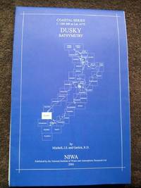
Dusky Bathymetry - NIWA Chart Coastal Series 1:200,000 at Lat. 41S
by Mitchell, J.S. and Garlick, R.D
- Used
- very good
- first
New Zealand: National Institute of Water and Atmospheric Research Ltd., 2001. First edition. Map. Very Good. Folded coastal bathymetry chart/map of the Dusky region of New Zealand. The map appears unused but has a bit of edgewear from long storage. Full color, no pin or tape marks. 1 sheet in plastic zipper bag.
-
Seller
Independent bookstores
 (US)
(US)
- Format/Binding Map
- Book Condition Used - Very Good
- Quantity Available 1
- Edition First edition
- Publisher National Institute of Water and Atmospheric Research Ltd.
- Place of Publication New Zealand
- Date Published 2001
- Keywords New Zealand Bathymetry Geology Science Coastal Oceanography Map Maps Chart Charts Dusky NIWA