
Click to view full size.
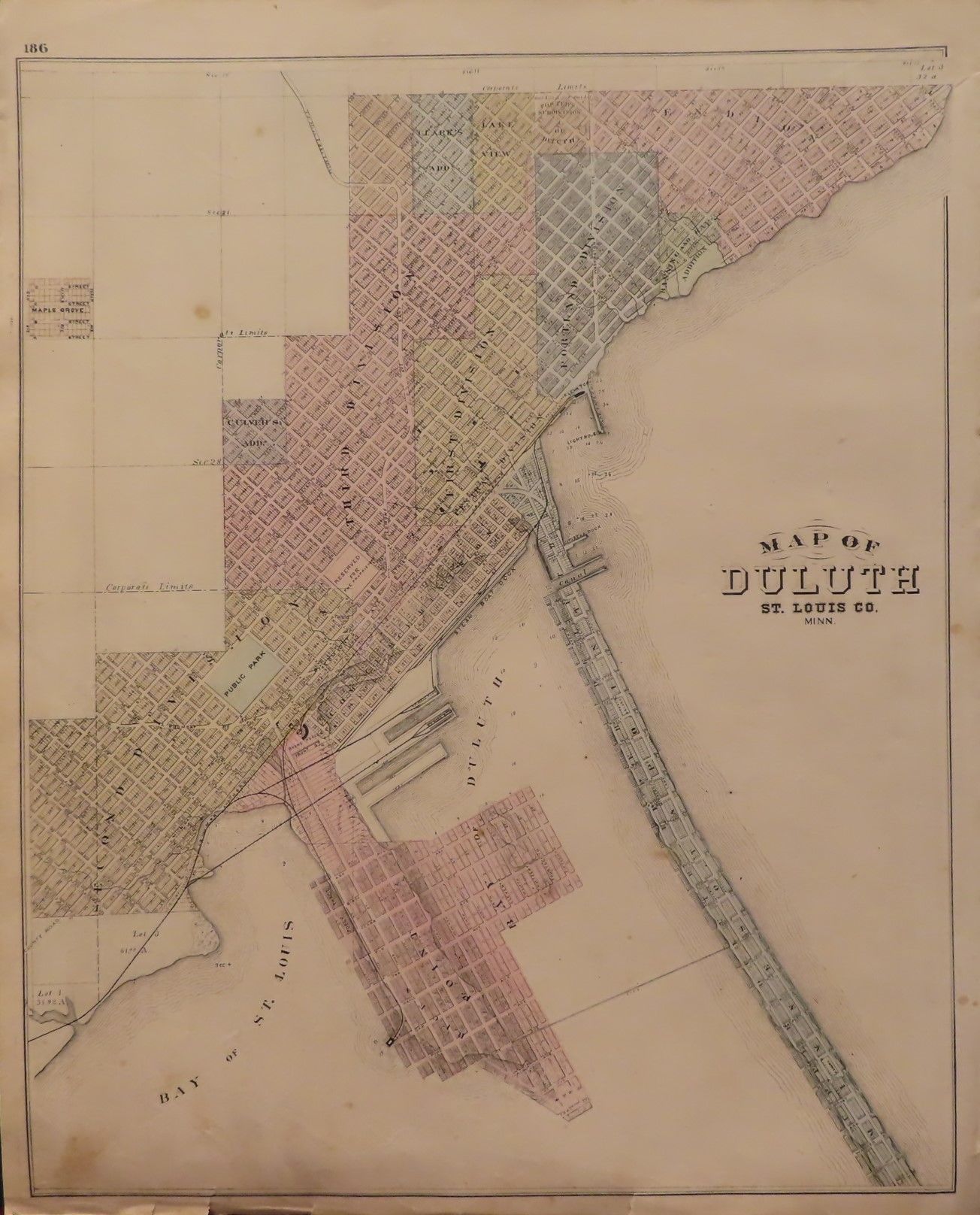
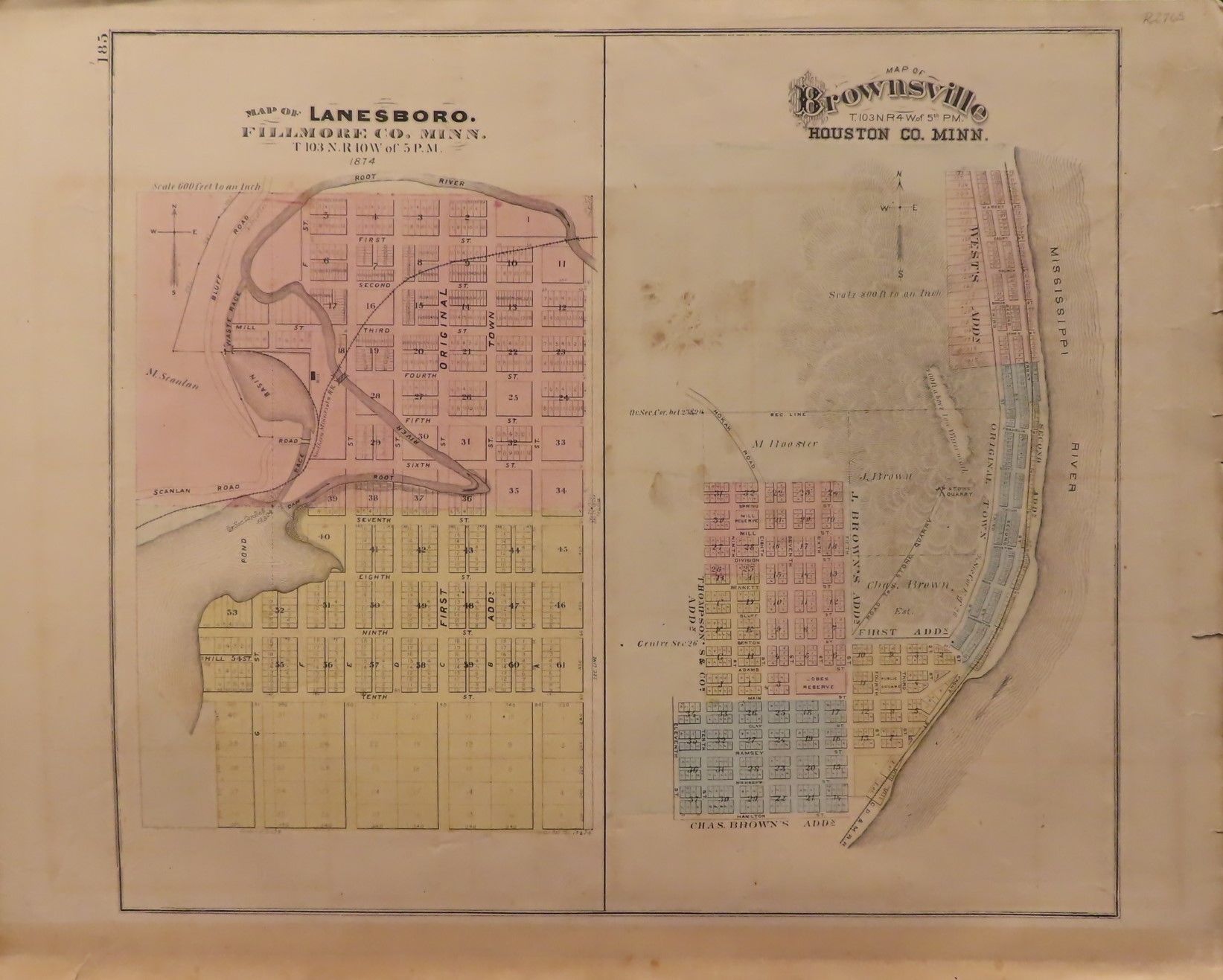
Map of Duluth 1874 Paper - 1874
by A.T. Andreas
Add to wish list
- Used
- very good
- first
A$289.62
A$13.03
Delivery within USA
Standard delivery: 7 to 14 days
More delivery options
Standard delivery: 7 to 14 days
Ships from William Chrisant & Sons' Old Florida Book Shop, ABAA, ILAB, FABA (Florida, United States)
Details
- Title Map of Duluth 1874
- Author A.T. Andreas
- Binding Paper
- Edition First Edition
- Condition Used - Very good
- Publisher A.T. Andreas, Chicago
- Publication date 1874
- Bookseller's Inventory # 2765
- Quantity available 1
- Bookseller catalogues Map
About William Chrisant & Sons' Old Florida Book Shop, ABAA, ILAB, FABA Florida, United States
Specialising in: Antiquarian, Antique Maps, Antique Prints, Arts & Graphic Arts, Children's Literature, Fashion Magazins, Fine Bindings, Haute Couture Magazines, Vogue, Vanity Fair, Bazaar
Biblio member since 2008


We are a brick & mortar store located between I95 and the Florida Turnpike. We focus on the visual aspects of books and the book as an artifact. We have large Art and Graphic Art sections including haute couture magazines but also carry Architecture, Ancient & Classical History, Performing Arts and Books on Books & Antiques. We have a large selection of Antiquarian Books, Antique maps & Antique prints.
30 day return guarantee, with full refund including shipping costs for up to 10 days after delivery if an item arrives misdescribed.
Browse books from William Chrisant & Sons' Old Florida Book Shop, ABAA, ILAB, FABA

